Keyword
Earth Science | Human Dimensions | Boundaries | Boundary Surveys
4 record(s)
Type of resources
Topics
Keywords
Contact for the resource
Provided by
Formats
Update frequencies
Status
draft
-

This resource describes a sample extent region for use in the Kaleidoscope spatial portal: https://kaleidoscope.terria.io/ No attribute data are presented.
-
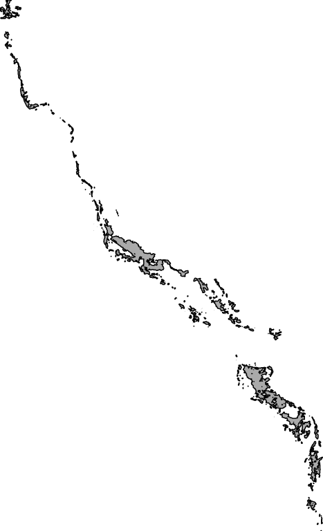
Official NWSJEMS Study Area boundary. Bounding box extends from west of North West Cape to Port Hedland. This study area boundary is based on the extent of data used for modelling purposes.
-
The National Oceans Office undertook in September 2001 an analysis of Bioregionalisation for the Australian South-east Marine Region, an integration of geological, oceanographic and biological data as the basis for bioregionalisation. The biological and physical assessment was intended to contribute to the implementation of ecosystem-based management in the South-east Marine Region by developing a shared understanding of the ecosystem. The assessment had two streams, ecosystem structure and ecosystem function and incorporated the input from these projects among others: - Production of a consistent, high quality bathymetric data grid for the south-east marine region. - Seabed characterisation including geomorphology, acoustic facies and seabed sampling (GA) - Computer sediment modelling (GEOMAT) - Refine Broad Scale Bioregionalisation (Provinces and Biomes) (CSIRO) - Upgrade deepwater nutrient, water properties and ocean current models (CSIRO) - Rapid assembly of ecological fish data (CSIRO Marine Research in collaboration with Australian Museum, Victoria Museum and NSW Fisheries) - Rapid assembly of ecological invertebrate data (Museum Victoria in partnership with Australia Museum and CSIRO Marine Research) - Bioregionalisation analysis for the South-east Marine Region (CSIRO Marine Research and Australian Geological Survey Organisation [GA]) This dataset contains the spatial distribution of the physical and biological components of the Region resulting from bioregionalisation analysis for the South-east Marine Region. Further detail will be available in the report entitled "An Interim, Draft bioregionalisation for the continental slope and deeper waters of the South-East Marine Region of Australia" by A. Butler, P. Harris et al. (draft only available at time of this metadata compilation).
-
This dataset contains information on closures collected from various NPF Management meetings, from the 1970's to 2004 (see below). Information was collected on why closures were proposed, evidence presented, and reasons why the proposals were accepted, rejected or modified. Emphasis is placed on obtaining information on why a closure was instigated, and the reasons why closures undergo subsequent modification. Scientific research carried out within or near each closures is also listed. Data were collected for closures that already existed at the time of database creation (2004), and it is planned that data collection will be ongoing, subject to funding and personnel availability. The data collected is linked to an existing GIS database containing spatial information on gazetted closures. Data sources for the historical review included: NORPAC/ NORMAC agendas and minutes, 1982 - 2004; Northern Fisheries Council documentation; Closures Task Force /Closure Committee minutes; Departmental Correspondence; Government Gazettes; AFMA NPF Directions; NPF publications (e.g. Pownall, 1994); Meeting notes kept by some research representatives on the above committees. The project objectives were: a. Identify the reasons for the designation of each closure and any information from research surveys that are available to evaluate the reasoning (including instances where no information exists). b. Develop agreed criteria to classify the different types of closures in the fishery. c. Develop and document protocols and criteria to be used to review (change or remove) an existing closure. d. Develop and document protocols and criteria to be used to establish new closures in the fishery. e. Provide Industry with succinct information that allows the consideration of the implementation, success and future advantage of the current closures.
